Narrative Description of the Project:
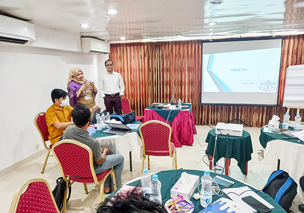
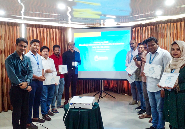
Handicap International - Humanity & Inclusion (HI) had intended to provide GIS training for their MEAL Unit staffs. IPTM under this assignment provided training on GIS to the MEAL Unit staffs of HI that enabled them to use Geospatial data by using gained knowledge in the workplace. A total of 10 participants received training in 1 (one) batch from July to August 2022. The overall objective of the training was to equip learners with advanced ways to use GIS in spatial mapping, data management, analysis, visualization, and decision support system. The specific objectives included development of an understanding of the different components of a GIS, the role GIS plays in solving epidemiological and public health problems, shelter and poverty mapping, actors mapping, and the role of GIS as a decision support system in humanitarian and development nexus.
Key Activities:
- Inception meeting with HI officials and submitted inception report
- Tools development for Training Need Assessment (TNA)
- Conducted Training Need Assessment (TNA)
- Designed and developed a training module for a 05-day long training on GIS
- Conducted the 05-day long “Quantum Geographic Information System (QGIS)” training for 10 participants in 1 (one) batch
- Arranged the training venue and accommodation for the training
- Training pre & post assessment
- Draft report submitted to Handicap International
- Final report submitted to Handicap International


.jpg)
